Road Objects
Road objects shall be understood as junctions (crossroads) or other regulated segments of the road network, over which control can be established using IREX video analytics. Road objects themselves can be created as objects, edited, and deleted on the Road objects tab in the settings.
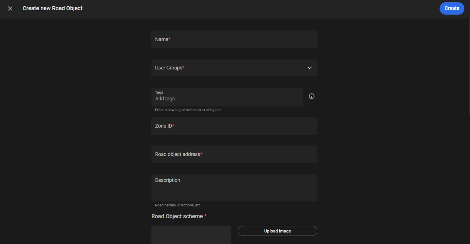
To create a road object:
- Click the "+" in the bottom right corner ...
- Give the road object a name in the Name text box (e.g. "The 5-th and Broadway").
- Assign the object to user groups on the User groups list.
- Assign a tag to the road object in the Tags text box.
- Enter the Zone ID: a numeric value identifying the control zone. This field is required.
- Enter the Road object address : the location text for the road object. This field is required.
- Enter the relevant text in the Description.
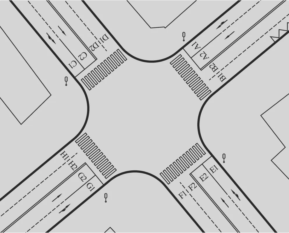
- Upload the crossroads scheme, if available, e.g., like this, to better illustrate the traffic management scheme on the crossroads.
- Under Location, click on the map to show the road object location.
- Specify the Violation storage depth.
- Click Create.
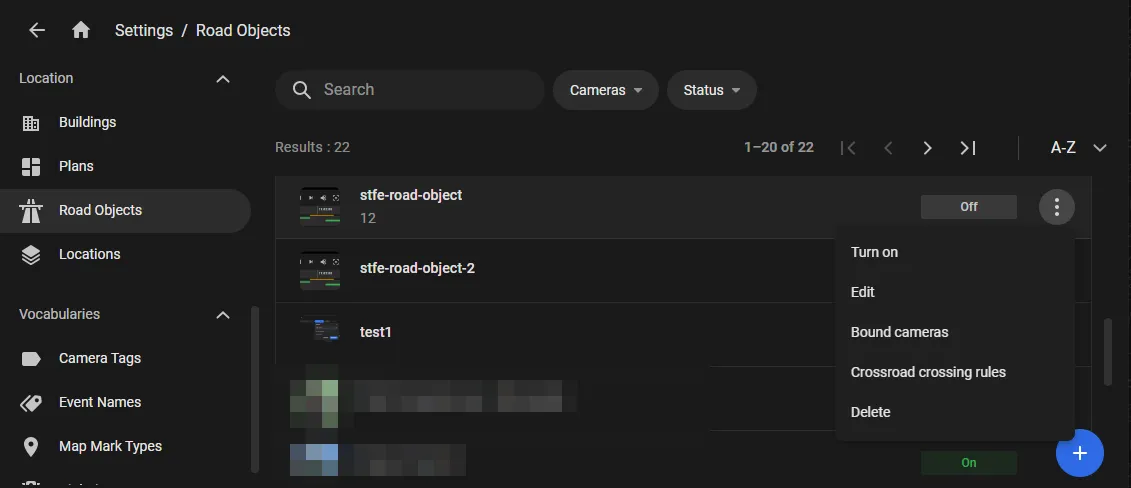
... to open the Create new road object window.